Depending on how serious it is, a car accident can impact not only the road where it happened but the entire area, eventually causing major slowdowns and traffic delays.
The same for any other incident that affects traffic, including fires and floods.
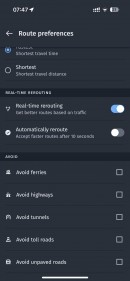
Navigation apps use different approaches to help drivers avoid the impacted areas. While most rely on traffic data, others employ user reports to route drivers on roads where slowdowns are less likely.
Waze, for example, rapidly becomes aware of where and when an accident took place. Based on user-generated reports, the application can help you avoid that specific road. But as said earlier, an incident could impact the entire area, so drivers could still end up stuck in traffic without an efficient routing model.
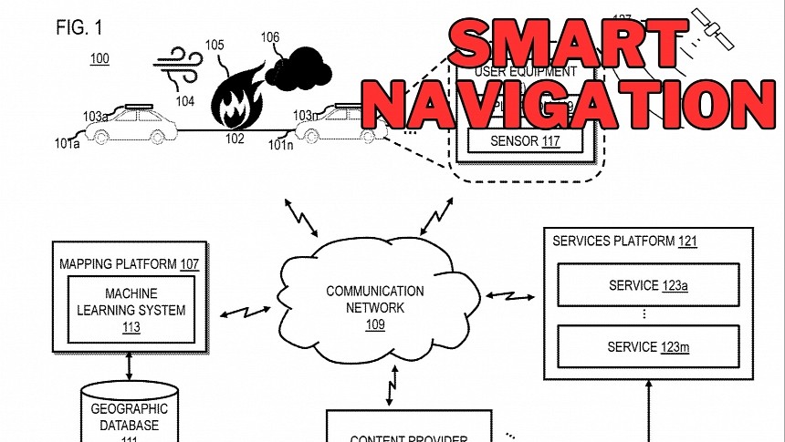
HERE, the company whose products are often considered top alternatives to Google Maps and Waze, proposes a different approach. A patent called “method and apparatus for dispersing incident routing” describes a system that tries to estimate the impacted area and then route drivers accordingly.
HERE says its system can use different approaches. The most obvious one relies on official incident reporting databases. In other words, HERE’s software can import information from traffic incident fees, traffic crash reports, police reports, information published by public authorities, and so on. Based on this data, the application knows precisely what roads are likely to experience traffic delays, so the routing would try to avoid the area.
Another concept relies on crowdsourcing data. HERE would be able to determine not only where the incident occurred, but also the nearby roads that are struggling with slowing traffic.
The most innovative comes down to HERE’s software trying to anticipate the impacted area. When no other information sources are available, the technology can anticipate how traffic would be affected based on other factors. If the incident is a fire that produces a lot of smoke, eventually slowing down traffic, HERE’s system can analyze the weather conditions to measure wind speed and directions. In case of heavy smoke, the wind could lead to slowdowns on at least two or three more nearby streets, so HERE’s software can eventually help drivers avoid the entire area.
The system works by creating a polygon with the affected area. Based on this rendering, the navigation would be specifically instructed to avoid it. First responders can also benefit from this solution, as they can be directed right to the impact area.
HERE says this concept works not only for cars, but also for other means of transportation. It can also route pedestrians, but also flying machines, such as drones, whenever they need to reach a location. This way, the software could help emergency teams reach the scene of an accident faster.
For the time being, HERE’s technology is still in the patent stage, so it remains to be seen if the company wants to pursue this idea.


