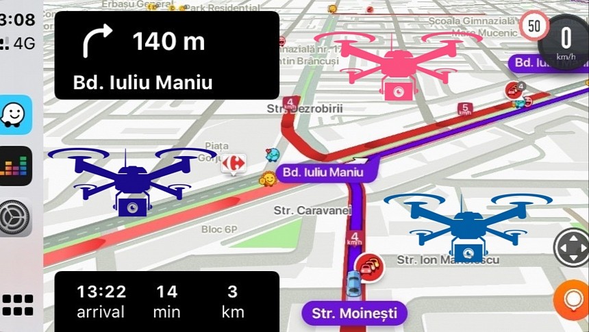
Waze is a very advanced weapon in the fight against traffic congestion, but the application doesn't come in handy to drivers exclusively.
Authorities can also turn to Waze data to determine the most congested points in a specific region, eventually being able to look for more efficient ways to improve traffic conditions.
This is precisely what the Dominican government is now planning to do as part of a partnership with the Google-owned company.
The Waze for Cities program will provide the local authorities with access to real-time incident reports and traffic data specifically to help them determine where congestion typically happens. The government already has a very ambitious plan in mind to solve traffic jams using Waze data.
The partnership will allow for real-time traffic monitoring, and officials claim they'll then be able to deploy autonomous drones in key intersections specifically to collect more data. The drones will analyze traffic patterns, double-check the Waze data, and then provide authorities with accurate statistics to help find the best way to address congestion.
The number one feature in Waze is the crowdsourcing engine. Users are allowed to send traffic reports, including for traffic jams, potholes, roadkill, broken traffic lights, vehicles stopped on the road, and other hazards. Based on these reports, Waze then generates warnings that are issued for the other motorists whose routes go through the flagged locations. As such, the application makes every trip more predictable, giving drivers more time to slow down if necessary.
Eventually, Waze determines the traffic impact of each report, calculating the slowdown and looking for alternative routes to reduce the ETA to the configured destination.
Waze is at the forefront of crowdsourcing traffic data, as the other navigation apps have tried but failed to integrate a similar component in their software. Apple, for example, also offers a traffic reporting system in Apple Maps, but this feature is yet to gain traction. Not only is the system only available in limited markets, but it is also used sporadically, with reports missing from the map 9 out of 10 times.
Waze, on the other hand, is widely used all over the world, so its users help the community stay in the know about what's happening on the road. This is precisely why the Dominican government is interested in the data, as Wazers contribute with an insane amount of information, reporting traffic conditions in real time.
On paper, this ambitious plan of deploying drones in intersections sounds fascinating, but time will tell if the strategy will eventually pay off. Sticking with baby steps could be the better choice right now, as simply sending a police officer to a busy intersection could help solve the traffic jam faster and more efficiently.


