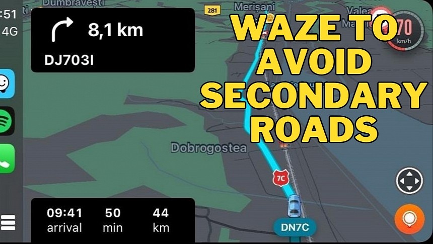
One of the biggest drawbacks of traffic navigation apps, including both Google Maps and Waze, is the disruption they cause in residential areas and quiet neighborhoods built to handle only a small number of cars.
These solutions typically search for the fastest route to a user-defined destination, so when the driver configures a new address, they search for all roads that could help them get there.
Because navigation apps also look into traffic conditions, they end up sending drivers on residential streets in an effort to avoid bumper-to-bumper traffic on the main roads. Directing so many cars to small roads eventually produces disruption in quiet neighborhoods, including pollution, noise, and an increased risk of accidents.
Authorities in Southern Shores in North Carolina have been trying to deal with this problem for quite some time, but none of the solutions they tested worked as expected. Not even closing streets produced an improvement, as drivers ended up getting stuck on other roads, eventually leading to major congestion.
Now the local council passed a resolution that will require Waze to remove residential streets from its traffic routing system, essentially keeping drivers on main roads.
Mayor Elizabeth Morey says she met with two Waze employees over Zoom to discuss the issue, and they agreed to make the required changes once the new resolution is adopted. While it's unclear how the new traffic routing system will work, Waze has allegedly agreed to block drivers from "seeing where it's faster to go through town streets."
Most likely, Waze will no longer include residential areas in its routing model, so drivers will spend most of the time on main roads. Unfortunately for drivers, this also means increased congestion, as most cars would stay on the same roads.
However, Morey claims that using residential streets isn't typically faster, though no further specifics were provided as to why this isn't the case. Most likely, the mayor refers to the speed limits that are in place on local streets, most often forcing drivers to go slower than on a main road.
Local authorities also plan to install new signs and speed bumps on several streets.
Waze is currently the top Google Maps alternative, and its main feature is a crowdsourcing routing model that relies on user-reported incidents for faster routes. The application can therefore know in advance where you are the most likely to experience a slowdown, eventually avoiding the location specifically to reduce your ETA. Drivers can report a wide variety of incidents, including accidents, traffic jams, speed traps, and broken traffic lights.
It's unclear if the local authorities also plan to expand the new resolution to more navigation apps, as Google Maps and Apple Maps can also route drivers on secondary streets depending on traffic conditions.


