We like to think the aviation industry is the most advanced we have. And we have good reasons for that belief, as this field of human activity is one of the most regulated and technologically safe in the world.
Yet flight as we know it is highly inefficient, too. It takes a lot of fuel and time to move people and cargo through the air, despite the many capable planes we have at our disposal, and that's mostly due to the way routing is done, both from the plane and from control towers.
It may be hard to believe, but even in our modern age airplanes do not really talk to each other through or use satellites for their most basic actions. Take how aircraft tracking is done: by using radar, but mostly when aircraft are over land or coastal areas.
This way of doing things has its advantages, and has proven highly successful over the past decades, but it is slowly becoming obsolete. Faced with ever-increasing traffic and plans to cut fuel consumption and emissions as much as possible, the industry is now looking at ways to make an airplane's flight both more fuel-efficient, and less time-consuming.
One of the organizations planning to help with that is the European Space Agency. Back in 2018, ESA performed the first-ever trial of something called Iris. We're talking about a satellite data communication technology that should allow airplanes, airports, and the industry as a whole to become better.
Iris effectively ties airplanes into the satellite network and gives pilots and controllers access to some incredible tools to reduce delays and fuel consumption.
Iris' main goal is to optimize airplanes' routes. It will not replace the current system of communication between pilots and controllers, but complement it. Here's how.
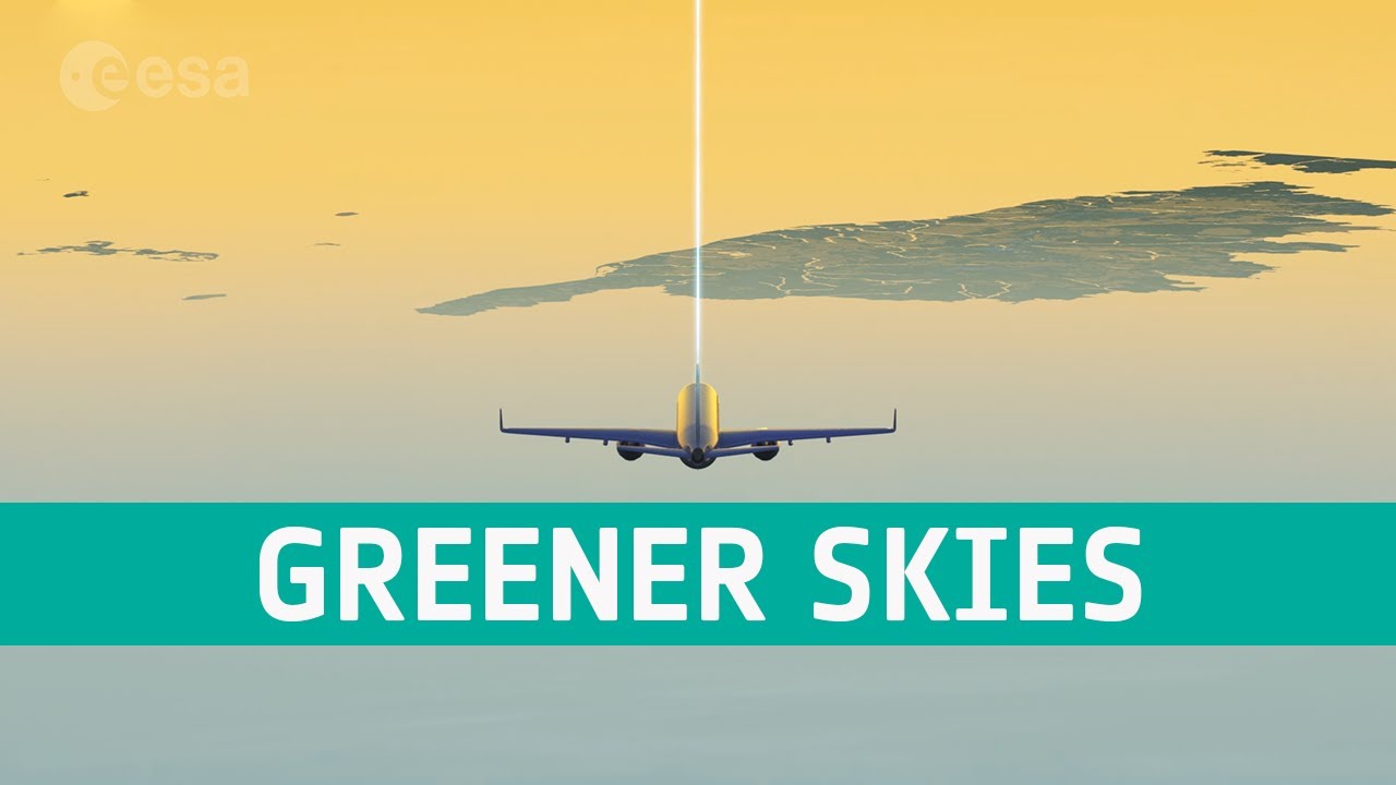
Photo: ESA
Take for instance an airplane flying over one of the world's vast oceans. Most of the time it's impossible to track it by radar, while adjustments to the flight path to avoid, for instance, bad weather, are not always possible.
The industry solves this issue by turning to so-called buffer zones between aircraft, giving them time to react to what the planes in front encounter. This may be a safe way to play things, but it's ineffective and it leads to delays and increased fuel consumption.
Iris provides a high bandwidth satellite datalink, and that makes communication, tracking and routing a lot easier.
First up, as soon as it gets going, the plane is constantly in communication with satellites, and continues to be so whether it's flying over land or sea. This allows continuous updating of the flight plan to stay ahead of whatever issues might arise, and keep the most efficient route to its destination.
Controllers will have means to schedule landings even when the planes are far out, allowing airport operations to become more efficient and have a lesser impact on how long a flight eventually lasts.
That's because people on the ground will be able to pinpoint the best flight paths for each aircraft in their care. When on approach for landing planes might, just might escape that daunting and ever-presence task of circling an airport until a runway slot opens and it can land.
Photo: ESA
There is no exact estimate of the impact Iris will have on the industry, but ESA estimates the system will allow for a reduction of CO2 emissions of up to ten percent compared to current levels. That may not seem like much, but do consider aviation is one of the world's largest sources of greenhouse gases. And it's enough for Europe to be confident Iris will contribute to its goal of becoming climate neutral by the middle of the century.
This week ESA announced the Iris tech "has almost completed its certification process with the European Aviation Safety Authority," meaning it's almost ready to be included in the continent's air traffic management system.
British satellite service provider Inmarsat, which is making the technology for ESA, will begin interfacing 30 national air traffic control authorities with the Iris, pending certification from the European Aviation Safety Agency.
ESA expects Iris to become operational as soon as next year on the Old Continent, with a number of airlines, including easyJet and ITA Airways, already signing up to use it.
Given the predicted success of the system, the Europeans plan to expand Iris to a worldwide level, with Asia and the Americas being the prime targets. A global deployment is expected around 2028, but by then its capabilities are expected to grow even further.
That's because Iris is envisioned by ESA as the perfect system to coordinate the flights of drones used for logistics purposes, including delivery of medical supplies or reaching areas of this planet that are not easy to access through other means.
"By 2028, Iris will be well-placed to enable flight optimization across the globe and the datalink will become the primary means of communications between pilots and air traffic controllers, making flights greener and more efficient," ESA says in a statement.
Daniel loves writing (or so he claims), and he uses this skill to offer readers a "behind the scenes" look at the automotive industry. He also enjoys talking about space exploration and robots, because in his view the only way forward for humanity is away from this planet, in metal bodies. Full profile
Would you like AUTOEVOLUTION to send you notifications?