A 56-year-old British safari guide living in Mozambique and traveling back home from Hoedspruit, South Africa, learned the hard way that the fastest route isn't always the best for Google Maps users.
Mike Turner was driving an open-top Ford Ranger he bought for safari tours, using Google Maps to find the way to a guest house. His initial plan was to drive home, but due to heavy traffic, he eventually booked a night at a guest house, planning to continue the trip the next day.
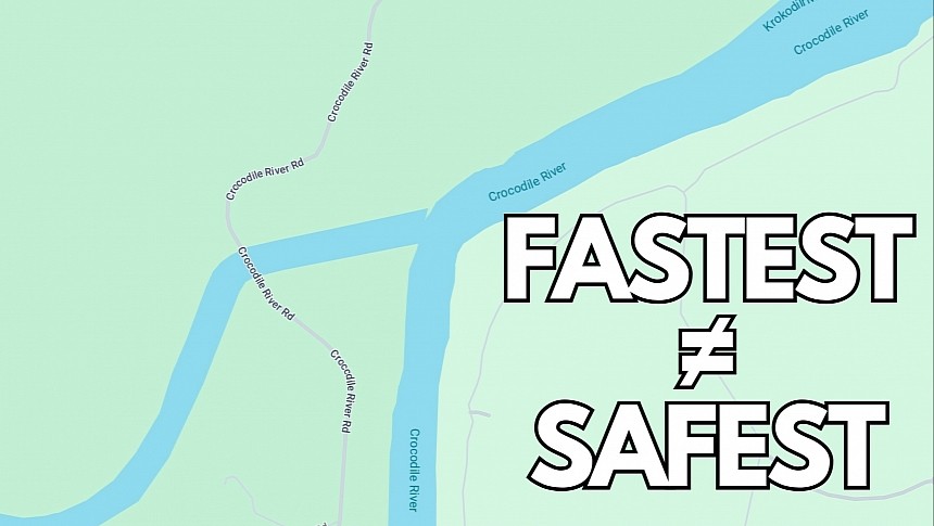
Google Maps found a way to beat the heavy traffic, and the man started following the directions on the screen until he eventually came across what he thought was "a shallow ford across a river." It was actually the point where the Komati and Crocodile Rivers meet, a dangerous location where other vehicles were previously swept away.
The man didn't stop and eventually took a wrong turn, and because he couldn't see any warning signs, he tried to continue the route. The vehicle eventually got stuck in the river, and with water coming over the bonnet, it was obvious he couldn't continue the route.
It's when the worst happened. He climbed into the back seats and realized he was stuck in crocodile-infested waters. Turner explained in an interview that he called the guesthouse and asked for help, but because of the flood, nobody could save him. He eventually dropped his phone into the water, so he had no idea if and when somebody would come to save him.
With crocodiles a common sign in the river, the safari guide had no other option than to stick to the vehicle's highest point and wait. 15 hours later, a rescue helicopter arrived, saving the man from the vehicle. He was suffering from dehydration and shock. The vehicle was towed and is now awaiting critical repairs, though it somehow managed to cope with the water and is still operational.
The rescuers explain that using Google Maps in the region isn't always the best idea, as the fastest route sometimes goes through these dangerous spots, including the point where the two rivers meet. It's where two people lost their lives earlier the same day after getting swept away by the flood. They were found hours later eaten by crocodiles.
A much safer route was only a few miles away, though it was crowded, and navigation apps didn't recommend it.
The best recommendation for anyone using Google Maps, Waze, Apple Maps, or any other navigation application comes down to this: if the suggested route looks dangerous, don't use it. Always pay attention to road signs, and if they're not available and you don't feel comfortable following a route, turn around and get back on the main route. It's always better to arrive at a destination a few minutes later but in one piece.


