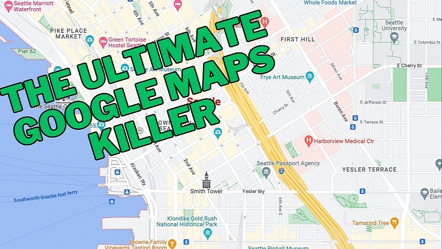
Google Maps and Apple Maps are the undisputed leaders in the mapping space, as they dominate this sector regarding navigation and mapping capabilities for app integration.
OpenStreetMap, a project put together by a non-profit organization, provides developers with a solid alternative. Still, the ultimate Google Maps killer could come from a tech giant coalition known as Overture Maps Foundation.
Microsoft, Meta (the owner of Facebook), Amazon, TomTom, and several other tech companies joined forces last year for a project to create interoperable open map data. The concept looks similar to OpenStreetMap, so many could wonder why all these tech giants launched a competing effort instead of supporting an existing one.
The question won't get an answer anytime soon, but Overture Maps Foundation is moving at full speed to challenge the domination of kings Google Maps and Apple Maps.
The first open map dataset released by the foundation is now available with four data layers called Places of Interest, Buildings, Transportation Network, and Administrative Boundaries. The data these layers include is available for testing, and the participating companies say that more datasets, including updates to the existing layers based on the received feedback, are already on their way.
The POI data layer brings over 59 million places of interest under the same roof, thanks to Meta and Microsoft. A Place of Interest (POI) is a popular location on the map that users might want to discover (to navigate to it, read more information such as reviews and opening hours, or explore from their device). POIs can be parking lots, parks, and basically every… point of interest. The foundation says this layer combines data from "all available resources," including open government data and crowdsourced mapping data.
The Buildings layer compromises data about 780 million buildings, while the Transportation Network includes information on the worldwide road network. The latter will help build better navigation capabilities, though the bigger challenge will be keeping the data up-to-date (Google Maps and Waze do this with map editors and volunteering work, but Overture seems to bet big on crowdsourcing).
The foundation explains that the Buildings layer relies on data imported from various projects, including OpenStreetMap, Microsoft AI-Generated building footprints, and Esri.
Administrative Boundaries includes the world map dataset, such as national and regional borders, and Overture Maps Foundation says it made all the information available in 40 languages for what the project calls "international use."
The first dataset is available as Overture 2023-07-26-alpha.0, and the foundation documented all changes on GitHub. It also asks for developer feedback, as it plans to improve the existing data with additional sources and address potential issues based on reports submitted by developers. No information has been provided on when the next release could take place.


