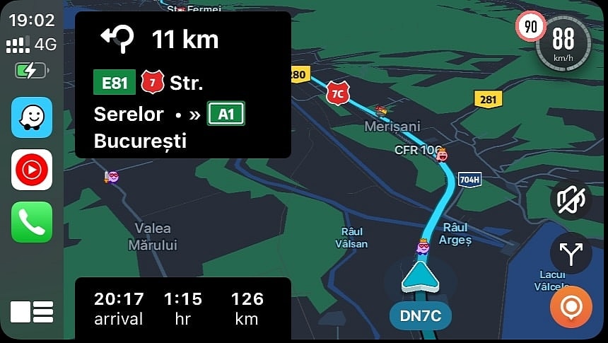
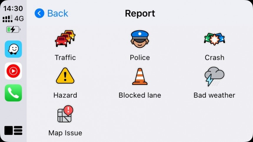
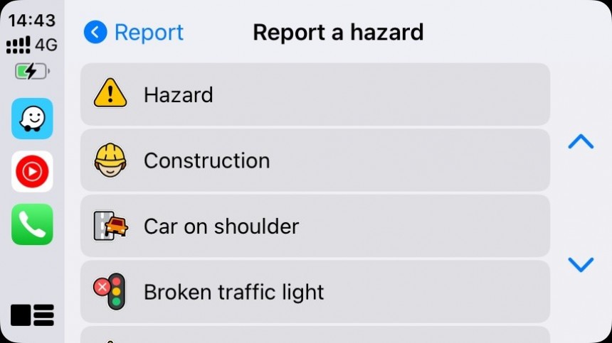
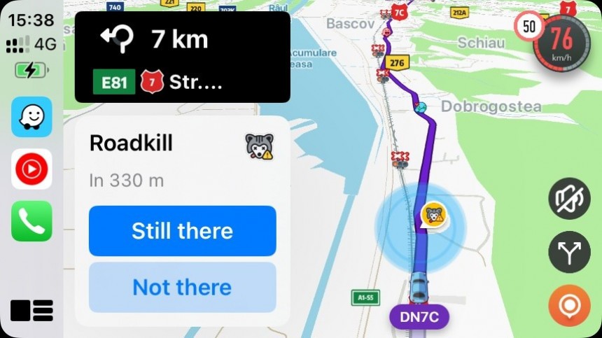
Waze has become a top driving companion for millions of drivers worldwide. It's an app relying on crowdsourcing to make the road safer and more predictable, allowing drivers to send and receive traffic reports on hazards like accidents, potholes, roadkill, and speed traps.
Using real-time traffic data collected from drivers, Waze finds faster routes to destinations. It uses the entire public road database, so it can sometimes send drivers to small residential roads in an attempt to avoid jams and slowdowns.
The routes Waze suggests are sometimes more complex, albeit they are considered faster. They could include multiple consecutive turns and driving on narrow roads, as Waze's purpose is to get you there faster.
However, using all public roads produces a major shortcoming: people living in quiet neighborhoods are now flooded with thousands of cars using their narrow streets, with kids playing only a few steps away.
A recent report from France highlights the nightmare that Waze is creating in some quiet regions.
Tourists heading to the Ardèche gorges are often directed by Waze through a medieval village called Saint-Montan. It's a small and cozy place with only 180 residents, so you can imagine everybody knows everybody. They don't have a highway or a large road because they don't need it, and yet their main road is often filled with cars. The problem worsens during the weekends and holidays, primarily between April and October, with residents telling the local media that they can count up to 1,000 cars on some days.
As expected, passenger cars aren't the only ones using the shortcut. Buses and semi-trailers have also been sent through the village (Waze doesn't offer support for large vehicles, but many drivers use the app anyway), with several getting stuck and forced to go in reverse, causing even more disruption in traffic and in the region.
The mayor is aware of the traffic problem. He says drivers have multiple alternative routes to get to their destinations but rely on Waze specifically to save a few minutes. The pollution and the noise have become so horrible that some homeowners now leave at the start of the season and return for the winter.
Several other villages and towns in France face the same problem, and the mayor of Camphin-en-Carembault says the traffic generated by Waze has gotten out of control. His town has only 1,800 residents, but the number of cars using its small road network reaches 14,000 on a busy day. Many use the city guided by Waze as an alternative to the A1 highway.
The side effects produced by Waze are obvious. Pollution, noise, and an increased risk of accidents, sometimes involving kids or pets, turn small and quiet neighborhoods into a constant source of stress.
Contacted by the local press, Waze offered a simple response: the navigation system uses all roads it can find, and authorities can control the road network. In plain English, authorities in a certain region can update the traffic signage to fight the hordes of cars going through their cities and villages.
It's not as easy as it sounds from a legal standpoint, but city officials have already tried multiple approaches, including installing stop signs and traffic lights, turning roads into one-way streets, and even restricting the speed for a lengthy sector of the main road. Some of these measures are still ineffective. If Waze determines that it can get you to the destination a couple of minutes faster and it's allowed to use the roads, it'll use them for its navigation suggestions.
The problem isn't exclusive to Waze, though. Other cities worldwide struggle with the same traffic problems caused by other navigation apps, including Google Maps. Most navigation solutions are based on the same concept, using real-time traffic data to determine the ETA to a destination using all possible roads. If it finds a faster route on an alternative route, it suggests that alternative to the user without considering other factors, like how narrow the road is.
In some cases, parent companies can remove certain roads from their navigation engines, albeit authorities must work with these companies specifically to find a solution and prevent high volumes of traffic on infrastructure that can't handle it.
Barcelona, one of the most popular tourist attractions worldwide, recently requested Google to remove a bus route from Google Maps because it was filled with tourists. The number of people taking the bus was so big that residents could no longer use public transportation. Most tourists used Google Maps for transit directions, and the applications directed them to a bus line in a small residential neighborhood.
Google Maps, Waze, and Apple Maps are currently the world's most popular mobile navigation apps. Google Maps comes pre-loaded on Android devices, while Apple Maps is pre-installed on iPhones. Waze is available from the app stores on both platforms.
The routes Waze suggests are sometimes more complex, albeit they are considered faster. They could include multiple consecutive turns and driving on narrow roads, as Waze's purpose is to get you there faster.
However, using all public roads produces a major shortcoming: people living in quiet neighborhoods are now flooded with thousands of cars using their narrow streets, with kids playing only a few steps away.
A recent report from France highlights the nightmare that Waze is creating in some quiet regions.
As expected, passenger cars aren't the only ones using the shortcut. Buses and semi-trailers have also been sent through the village (Waze doesn't offer support for large vehicles, but many drivers use the app anyway), with several getting stuck and forced to go in reverse, causing even more disruption in traffic and in the region.
The mayor is aware of the traffic problem. He says drivers have multiple alternative routes to get to their destinations but rely on Waze specifically to save a few minutes. The pollution and the noise have become so horrible that some homeowners now leave at the start of the season and return for the winter.
The side effects produced by Waze are obvious. Pollution, noise, and an increased risk of accidents, sometimes involving kids or pets, turn small and quiet neighborhoods into a constant source of stress.
Contacted by the local press, Waze offered a simple response: the navigation system uses all roads it can find, and authorities can control the road network. In plain English, authorities in a certain region can update the traffic signage to fight the hordes of cars going through their cities and villages.
It's not as easy as it sounds from a legal standpoint, but city officials have already tried multiple approaches, including installing stop signs and traffic lights, turning roads into one-way streets, and even restricting the speed for a lengthy sector of the main road. Some of these measures are still ineffective. If Waze determines that it can get you to the destination a couple of minutes faster and it's allowed to use the roads, it'll use them for its navigation suggestions.
In some cases, parent companies can remove certain roads from their navigation engines, albeit authorities must work with these companies specifically to find a solution and prevent high volumes of traffic on infrastructure that can't handle it.
Barcelona, one of the most popular tourist attractions worldwide, recently requested Google to remove a bus route from Google Maps because it was filled with tourists. The number of people taking the bus was so big that residents could no longer use public transportation. Most tourists used Google Maps for transit directions, and the applications directed them to a bus line in a small residential neighborhood.
Google Maps, Waze, and Apple Maps are currently the world's most popular mobile navigation apps. Google Maps comes pre-loaded on Android devices, while Apple Maps is pre-installed on iPhones. Waze is available from the app stores on both platforms.


