Navigation apps have become a necessary evil for most drivers, as they help fight heavy traffic and find a faster route to the destination. They're not always right, but in 9 of 10 cases, they are aware of heavy traffic, slowdowns, and accidents, letting you arrive at the destination faster by using the main route.
People whose houses are on Dibble Road recently discovered the ugly side of Google Maps and Apple Maps.
The Indiana Department of Transportation (INDOT) closed the IN-156, creating a detour that sends drivers to State Route 56. It's where Google Maps and Apple Maps step in, suggesting a different route that sends drivers down Dibble Road.
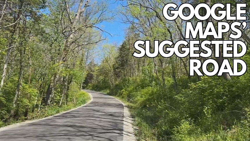
If you don't understand why it's such a big deal for drivers to use public roads to avoid congestion and get to their destinations faster, I advise you to look up the road on Google Street View. The road is so narrow that drivers must get onto the shoulder to pass one another, and if a large vehicle is incoming, the only option is to get out of the road entirely.
Residents told the local media that even 18-wheelers used the winding road, wiping out every branch and obviously causing massive disruption in the region. Imagine what would happen if two such vehicles meet on this narrow road.
Unfortunately for people living on Dibble Road, the disruption doesn't just come down to traffic, noise, and pollution. With puppies, deer, and chickens often spotted close to the road or even on the road directly, accidents aren't rare. One resident explained in an interview that he lost a pet duck on the road after a car hit it.
Hundreds of cars use the road as a shortcut, as Google Maps and Apple Maps suggest it as a detour to the closure. Waze offers the correct directions, despite the app typically providing routes that are faster than the ones in rival apps. Waze uses a crowdsourcing engine to let users report traffic hazards and map editors to update directions and the road map, so the local community probably enforced the correct detour.
The local press has already contacted the parent companies to ask for more information on whether they could remove the detour from the app but never heard back. INDOT should also contact Google and Apple to discuss the problem, as the parent companies can remove Dibble Road from Google Maps and Apple Maps when requested by authorities.
Meanwhile, Google Maps and Apple Maps remain invaluable tools for navigation, helping make every second behind the wheel safer and more convenient. However, authorities shouldn't ignore their ugly side, as drivers following their directions blindly end up causing massive disruptions in communities that were until now quiet and only faced local traffic.


