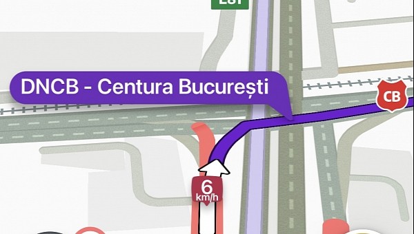
The Dominican government will use Waze to inform citizens about traffic restrictions and alternative routes during this year’s Ibero-American Summit.
Projected to kick off on March 24, the event is expected to produce major traffic restrictions in Santo Domingo. Governments of most Spanish and Portuguese-speaking countries in Europe and the Americas will attend the venue.
The local authorities have therefore decided to use Waze specifically to highlight the roads that will be closed during the event. Alternative routes will also be provided in an attempt to prevent congestion during the two-day summit.
Users in the region will see the update in Waze starting March 22. The government says the application will also be used to provide notifications on any changes that may be introduced during the event. As such, drivers are recommended to install Waze to avoid spending too much time in traffic.
Waze’s focus on fighting congestion is turning the app into the preferred alternative to Google Maps. Google currently offers two separate navigation apps, though Waze seems to become the recommended choice whenever it comes down to dealing with traffic jams.
Google Maps' recent updates have pushed the all-in-one mapping service closer to exploration rather than navigation. This doesn’t mean Google is ignoring the navigation component of Google Maps, though. The application is now providing drivers with eco-friendly routes which should help cut fuel consumption and carbon emissions.
Waze, on the other hand, is specifically focused on traffic conditions, restrictions, and what’s happening on the road. The Google-owned company, which the search giant says still operates independently, runs on a crowdsourcing engine. In addition to information collected from mobile devices, Waze allows users to send traffic reports regarding accidents, traffic jams, speed traps, vehicles stopped on the road, and potholes.
As such, Waze can inform other motorists about the presence of these flagged items, eventually making the road more predictable.
Governments choosing Waze to inform citizens about traffic restrictions is not surprising. The adoption of Waze has skyrocketed in the last few years, especially as the application is available on most platforms. It’s also offered to users all over the world, and its efficiency is dictated primarily by its local user base.
This year’s summit will bring together officials from a total of 22 countries across the world, including Spain, Portugal, Brazil, and Argentina. Some of the traffic restrictions could eventually be highlighted on Google Maps as well, as the map editors in the country can also update the app with up-to-date traffic information. Waze, however, will use the official data, as well as the traffic reports submitted by users, to fight the potential congestion and help motorists find a faster way to reach their destinations during the event.


