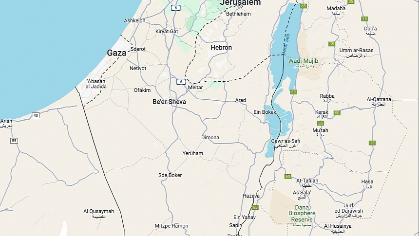
Google Maps and Waze are getting some (but not all) traffic navigation features in Israel, as the parent companies claim that "more drivers return to the road."
The Mountain View-based search giant, which owns Google Maps and Waze (though the latter still operates independently), disabled traffic information in October due to the military conflict in the region. The company said that not showing busy regions on the map would protect people, as the information provided by Google Maps and Waze could be an indication of the most crowded regions in a city.
The company now says it's restoring some features, including real-time traffic conditions along the route. However, certain capabilities will remain disabled in both apps.
Apple also disabled live traffic updates in Apple Maps in October for users in Israel, but the company has remained tight-lipped on a potential reactivation of these capabilities following Google's announcement.
Google Maps and Waze have become must-have weapons in the fight against bumper-to-bumper traffic, as the two applications collect information from mobile devices and determine the busiest locations.
Waze also includes a crowdsourcing engine that allows users to report traffic jams and other hazards, including accidents, broken traffic lights, speed traps, and roadkill. The application uses the data to determine potential slowdowns, eventually generating warnings to other users navigating through the flagged locations.
However, navigation apps also come with other extras that could be misused during military tensions in a specific region.
For example, Waze integrates a chat feature that allows motorists to communicate when blocked in standstill traffic. The feature is available on mobile devices and works like a regular chat, letting users exchange messages and share information on what happens on the road. The chat feature also helps users share additional context on a potential hazard not supported by Waze.
Google Maps comes with busyiness information – a concept introduced by the search giant during the pandemic in 2020 and is supposed to let users view crowded locations on the map. The application collects information from devices and tries to determine the busiest places, eventually letting users avoid these locations by just checking out the application.
Meanwhile, users relying on Google Maps, Waze, and other applications for navigation in Israel should keep in mind that the GPS connection could sometimes stop working correctly due to jamming technology used by the military. Navigation apps rely on the GPS connection to determine your location and then follow you on the map, so if the applications stop tracking you, the chances are that you lost the GPS signal.
Google Maps also supports offline maps, so in case the Internet connection is lost, you should still be able to navigate to the destination in offline mode (though the mobile device would still connect to the GPS for tracking and directions).


