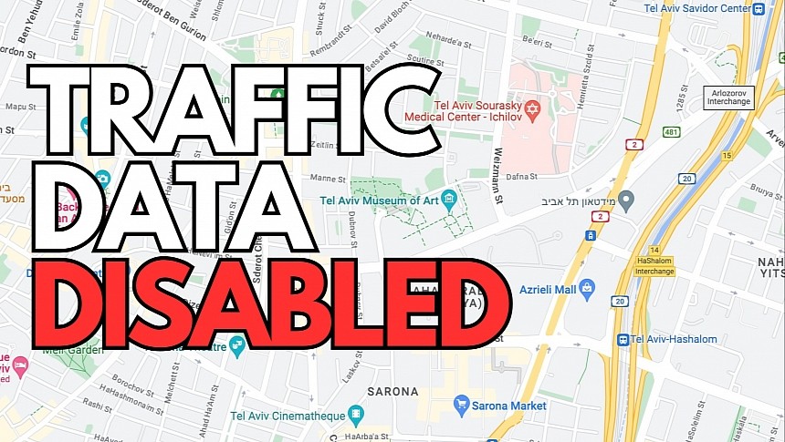
The world's three most popular mobile navigation apps – Google Maps, Apple Maps, and Waze – no longer display traffic information in Israel due to the military conflict that started earlier this month.
The tech giants offering these solutions claim that disabling traffic data prevents it from being misused, and users will continue to have access to navigation.
Beginning this week, Google Maps, Waze, and Apple Maps won't show traffic jams, traffic reports, and alerts in specific parts of Israel. However, if you use navigation to navigate to a destination, the apps will still take traffic data into account, providing you with the fastest route to the defined address. The only difference is that you won't see the traffic data it uses.
Waze also displays a warning when launching the app, telling users that traffic jams, the other Wazers (which typically show on the map using the configured mood), reports, and other alerts will no longer show up on the map. The application will still use the data to determine the fastest route, but otherwise, the Waze experience will be quiet.
Turning off features has become a common practice during military conflicts, with the parent companies announcing similar restrictions when the Ukraine invasion started.
Navigation apps have become very popular worldwide, providing users with faster ways to reach their destinations. They can accurately indicate traffic incidents and jams, and the Israeli military believes the data could be used for other nefarious purposes. A traffic jam is typically a place where multiple cars are stuck for various reasons, so indicating the location could expose civilians and the military.
Waze also includes a chat feature that allows users to exchange messages by flagging certain locations on the map. It's unclear if this option has also been removed, but the Google-owned company will probably turn it off, too, in order to prevent sensitive data from being shared on the map.
Google says it has also disabled busysiness information in Google Maps. With this feature, Google Maps allows users to see how crowded a specific region is expected to be. The option was launched three years ago when the health crisis hit, helping users avoid crowded stores and locations. Since then, the busysiness indicators have become an essential Google Maps feature, but they can also be misused horribly during war times.
All these restrictions are only temporary, so the navigation applications should get all their features backs when the military conflict ends. While navigation capabilities are still available, and you can use Google Maps, Waze, and Apple Maps to drive to a destination in Israel, the military is known to be disrupting GPS, so you could lose the signal or experience connection problems depending on where you launch the apps.


