Google Maps is already looking for the fastest and the most fuel-efficient route to a destination, but given the new zero-emission focus, the service is rapidly expanding in the electric vehicle space.
One of the most recent ideas that Google is looking into concerns the way Google Maps calculates routes that wouldn’t allow an EV to reach the destination without a charge.
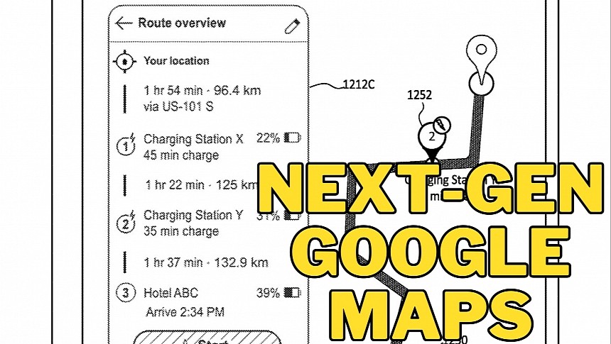
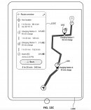
The Mountain View-based search giant wants Google Maps to look for routes that take into account the available charging stations, their compatibility, and the charging speed, eventually calculating the fastest way to reach a destination with one or multiple stops included.
Google Maps would obviously have to know your electric vehicle brand and model, as well as the connector type, to look for accurate data.
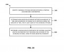
The company explains in a patent covering "automatic routing through electric vehicle charging stations" that its purpose is to address the range anxiety for EV owners. As such, Google Maps would look for the fastest route to the defined destination, then check for the available charging stations along the way, create a non-linear relationship between time and the amount of charge, and provide the driver with the best option.
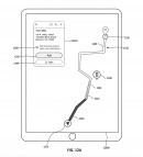
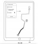
Google Maps would eventually calculate the fastest route to the destination based on estimates related to your battery range and level when reaching every charge station. The navigation app would also suggest charging times – for example, you might be recommended to charge the battery only to a certain level before leaving and continuing to trip until the next stop. This way, you should be able to arrive at the destination faster, as Google Maps tries to optimize the route by always calculating the shortest time required for a charge.
Given its detailed maps, Google Maps would provide accurate battery range estimates based on terrain topography and traffic conditions, eventually making sure that you have enough battery power to arrive at the next charging station.
Google seems ready to adopt a concept like the one powering A Better Routeplanner and upgrade it with more advanced capabilities. Google Maps for Android Automotive already supports this idea's basic implementation, as it can monitor your battery range and suggest charging stops whenever required to reach a destination.
However, Google Maps would make the route planning phase a lot more convenient with these capabilities, especially because it would always try to calculate the fastest way to arrive at the desired address.
As always, you should keep in mind that Google's idea is currently in the patent stage, but given the always-increasing focus on EVs, I'm certain this feature would sooner or later make its way to Google Maps. Expect it to debut on Android Automotive-powered vehicles where Google Maps can already read battery information and other EV-related data.
