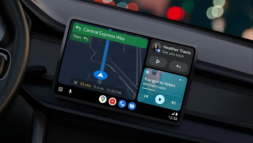
Sat-nav solutions, be they stand-alone GPS navigators, built-in car navigation, or mobile applications like Google Maps and Waze, can help drivers avoid traffic jams and find faster routes to defined destinations.
But the historic closure of the M25 motorway in the United Kingdom this weekend should be treated differently by drivers who use the high-speed road between Friday and Monday. A five-mile sector will be closed to allow road workers to demolish a bridge and install a new gantry.
National Highways, the traffic company in charge of operating and maintaining motorways in the United Kingdom, issued a public recommendation for drivers, telling them to stick with official diversion routes.
The M25 will be closed in both directions from 9 PM on Friday to 6 AM on Monday. The closure will take place between junctions 10 and 11, and National Highways says drivers should "leave a lot of extra time for the journey."
Local authorities are concerned that drivers will turn to navigation apps like Google Maps and Waze to avoid the closure and find a faster way to their destination. However, doing this could lead to unpredictable traffic jams in other regions, with National Highways officials explaining that residents in other areas could be affected by high traffic volumes.
National Highways has a simple message for drivers who really have to use the M25 during the closure time: don't follow the satnav and stick to the prescribed diversion route. The traffic officials believe drivers could spend approximately one more hour in traffic due to the closure, though the estimates are based on the assumption that drivers would follow the diversion routes. It's impossible to tell how the journey would be impacted if drivers turn to navigation apps, so in addition to not using Google Maps and Waze, National Highways also tells drivers to avoid traveling "if you can avoid it."
Navigation apps have become a necessary evil for modern drivers, but while they sometimes help find a faster route to the destination, they wreak havoc in quiet neighborhoods with narrow roads not prepared to handle high traffic volumes.
Waze, in particular, has been blamed for routing drivers to residential areas. Waze uses a crowdsourcing engine that allows drivers to send traffic reports for various hazards, including potholes, accidents, broken traffic lights, and speed traps. Waze can generate warnings for other drivers, making the journey more predictable.
National Highways is also planning four more M25 closures until September. The roadwork is part of a massive project whose deadline is the summer of 2025, with the M25 to eventually have more lanes in both directions.
National Highways closed the A3 for the entire weekend last week as the government-owned company needed to demolish two bridges.


