Google Maps keeps evolving in terms of navigation capabilities, and drivers know this very well, as the application provides them with more advanced features to get them from where they are to where they want to be.
Most recently, the Mountain View-based search expanded the eco-friendly routing engine to more locations, allowing drivers to reach their destinations while cutting vehicle emissions and fuel consumption.
Now, Google is expanding Google Maps on a front that will make it easier for users to leave their cars at home and use public transportation.
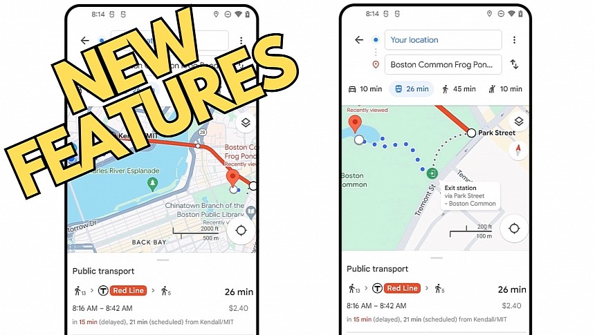
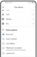
A new Google Maps update includes an overhauled transit directions engine, which takes into account more factors, including the ETA, the trip length, and the number of transfers. As in the case of car navigation, Google Maps now allows users to customize the route with various filters, including a route with less walking, to arrive at the destination.
The route recommendations appearing in Google Maps will make the transit engine more convenient, as the application will try to get you as close as possible to the final point based on your settings. For example, if you don't want to walk too much, Google Maps can find a route with more transfers or stops, eventually getting you closer to the destination. On the other hand, if you don't mind walking for ten minutes, Google Maps can suggest a route with fewer stops but a shorter ETA, offering walking directions to reach your destination.
Google Maps is also getting other goodies, including support for showing the station entrances' location and existence. It means the application will indicate precisely the side of the street where the entrances and exits are located and will then offer accurate walking directions to guide you to the destination.
The feature isn't yet available for everybody, but Google says it'll debut in 80 cities worldwide, including London, New York, Tokyo, Paris, and Madrid. It'll eventually expand to more locations, but for now, the new transit updates are projected to land for select users on Android and iOS in the coming weeks. Google did not reveal if it plans to bring the same capabilities to the web, as such an update would allow users to do the route planning part of the navigation on a computer and then transfer it to a mobile device for the journey.
Google is making big efforts to improve Google Maps and support sustainable transportation, and the eco-friendly routing is living proof. Google says this feature works like a charm, as it has already reduced emissions by the equivalent of taking half a million cars off the road. It debuted in 2021 and is already available in the largest markets, with Google working around the clock to bring it to everybody.


