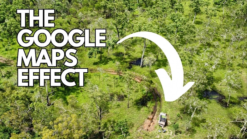
Using Google Maps for navigation is sometimes a dangerous choice, and two German tourists learned this the hard way.
Marcel Schoene and Philipp Maier tried to travel from Coen to Bamaga in Australia using a four-wheel-drive Nissan Navara, theoretically perfectly capable of going through the rough terrain on their 385-kilometer trip.
However, it didn't take long for the vehicle to get stuck.
It all started when the two men left Coen and came across the first roadblock. The Archer River crossing on the Peninsula Developmental Road was closed due to flooding, so the tourists picked up their phones, launched Google Maps, and searched for alternate routes.
The application suggested a road going through the Oyala Thumotang National Park. They took the route without knowing that the national park wasn't only closed but also impassable.
The vehicle eventually got stuck on the road, and after several attempts to get it out, they decided to call for help. Without a cellular signal, the only option was to walk to the nearest town where they could find someone to help them. They used Google Maps to calculate the distances to the nearest towns, and they started walking towards Archer River because it was the closest.
After 25 kilometers, they came across rivers that blocked their way, so the only option was to spend the night under the rainy sky. They couldn't continue the journey in the morning because the water level was even higher, so they walked back to the car. After spending several more nights in the car, drinking all the water, and eating all their food, they decided to walk back to the starting point in Coen.
The trip involved more nights of sleeping in the wilds and drinking water from rivers. Still, they eventually got close enough to an aerodrome, where they eventually got cellular reception and found someone to help them. Hours later, they were brought back to Coen, where they could get assistance from the emergency teams to recover their stuck car.
Queensland Police Service Cape Patrol Group Inspector Dave Rutherford has a very simple recommendation for people who believe Google Maps is all you need to find your way to a destination nowadays. Always check official resources, such as government websites, before hitting the road, as applications like Google Maps are not always aware of what happens on the road.
Fortunately, both tourists returned to safety without any injuries, but not everybody has the same experience surviving in the wilds for so many days.
Google did not comment on the case, but it shouldn't take long before the suggested route going through the closed national park should be removed from the map and no longer appear for users in the region.


