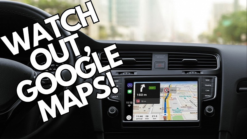
Applications like Google Maps, Waze, and Apple Maps dominate the navigation space, while the other solutions are considered the underdogs of a market that has become essential for a growing number of users.
But while Google Maps is often the top choice for most mobile users, it doesn't mean it's always the perfect solution for all navigation needs.
A new feature in Magic Earth proves Google still has a lot of work to do to make Google Maps a complete navigation solution.
Magic Earth's name might not sound familiar to too many people, though CarPlay users are more likely to have used the application at least once. Magic Earth pioneered the CarPlay Dashboard adoption, as it received the feature before famous names like Google Maps and Waze. Many CarPlay users installed Magic Earth specifically to run navigation on the Dashboard before the big guys eventually got the same feature.
However, Magic Earth remains a top navigation solution, with the most recent updates bringing several notable improvements.
Version 7.9.1, now available for download from the App Store, aligns with this trend, bringing a new feature that Google Maps needs too. Magic Earth now sports an Elevation Chart integrated into the Navigation Panel. It's available for bike routes and makes it easier for cyclists to preview the terrain before beginning navigation and see the sectors where they will encounter elevation.
Google Maps has become more focused on environmentally friendly transportation, and the expansion of eco-friendly routes is living proof. As a result, focusing more on cycling navigation should be part of its long-term commitment to sustainable turn-by-turn guidance, and elevation insights are a must-have.
Magic Earth's latest update also includes easier waypoint management. The dev team has added an option to remove the next waypoint in the navigation menu.
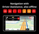
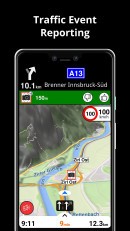
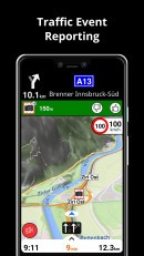
Meanwhile, Magic Earth retains its privacy focus, as the application does not track users and guarantees no data is sold to advertisers. The application uses offline maps powered by OpenStreetMap, with support for 233 countries. The essential navigation features are all there, including lane assistance, traffic information, and multi-stop support.
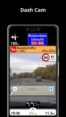
Additionally, Magic Earth also includes an AI dashcam component that allows the mobile device to record what happens on the road ahead, record accidents, and generate warnings for potential pedestrian collisions, lane departures, and forward collisions.
Google Maps is also getting a massive pack of improvements, including new-generation features like Immersive View for routes.
The new tool allows drivers to preview their routes with a multi-dimensional view built using satellite imagery, Street View data, historical traffic patterns, and estimated weather conditions. Drivers can get more familiar with their routes, inspecting every turn and getting more familiar with the region, especially because every element, including buildings and trees, is accurately recreated in Google Maps' simulated view of the world.
