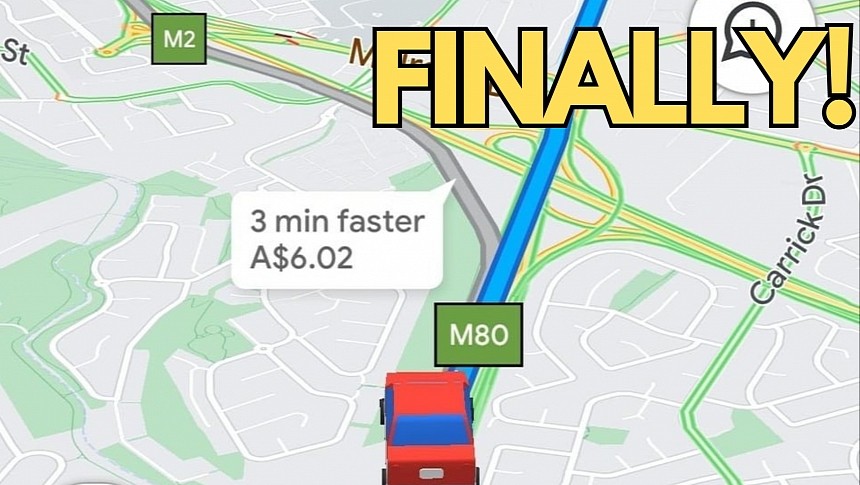
Navigation apps have been showing toll prices for quite some time, but Google Maps has only recently started showing the actual cost for each route in Melbourne.
The search giant did not release an announcement on this update, but toll prices started appearing for users driving in the region silently last week. Several others have confirmed that toll prices are now live in Google Maps.
Toll prices launched in the United States and several other countries in April 2022, though the company started experimenting with the feature in 2021. The first users started seeing the costs per route a couple of years ago, with Google spending several months until officially announcing its debut.
Google expanding this feature to more locations is certainly good news, but the toll prices in Melbourne seem terribly inaccurate.
Users on reddit claim the information presented by Google Maps is not correct, in some cases displaying errors that start at approximately $1 and go up to $9. Such a big difference between the indicated cost and the actual charge is huge, making Google Maps painfully unreliable for a feature that should always work correctly.
Oddly enough, Google originally said it wanted to use only official data sources for toll prices on Google Maps. The company pulls the information from traffic agencies and government bodies without relying on crowdsourcing. Other applications, like Waze, use crowdsourcing to update prices, therefore providing users with up-to-date information provided by other users.
Google Maps toll prices are available on iPhone and Android and show up as long as users don't enable the "avoid tolls" route option. When configuring a route that includes tolls, Google Maps should display an estimated cost per route.
Google Maps is currently the only application showing toll prices in Melbourne, though online calculators allow users to get a more accurate estimate for a configured route. Apple Maps also includes an option to avoid toll roads, but the application does not display the charge for the selected route. As a result, the application can suggest routes to avoid tolls, but when this option is disabled, it doesn't allow users to see how much they need to pay to arrive at the destination.
It's unclear if the Mountain View-based search plans to expand the feature to more regions in Australia or other countries. However, before considering bringing toll prices to more locations, Google should make sure the information is accurate, as the incorrect data displayed in Melbourne makes it painfully unreliable.
If you live in Melbourne and want to get an estimate of the tolls for a certain route, you'd better double-check the Google Maps information in an online calculator before you start driving. Toll prices are also available on government websites, so you can manually estimate the charges based on your route.


