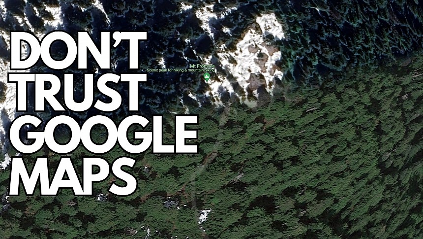
A Canadian hiker who believed Google Maps would help him find the right path on Mount Fromme learned the hard way that the application does its magic only on public roads.
The man was hiking from the Kennedy Falls area, using a trail that appeared on Google Maps for guidance. He eventually got stranded on a cliff in a place where rescuers already found other hikers and also recorded a fatality.
The North Shore Rescue revealed in a post on Facebook that a non-existent trail appeared on Google Maps, leading some hikers to dangerous regions. The trail has already been removed, but the rescuers explain that using Google Maps for hiking is not recommended. Google Maps is only good for what the rescuers described as "urban street map" navigation, and hikers should spend more time planning their trips without relying solely on navigation apps.
The rescue operation was challenging, especially because the man was stranded in a place full of trees, so spotting him from a helicopter was hard.
Two rescue experts scanned the area from the air and eventually spotted the man, bringing him to safety hours later.
People misusing Google Maps has become a major concern for authorities across the world, as many people trust what the application says blindly and follow its directions without even paying attention to road signage.
Google Maps does not include step-by-step guidance of all activities and is specifically aimed at drivers while also offering walking and motorcycle support. However, the walking mode primarily focuses on urban navigation, such as when you need directions to find a restaurant in an unfamiliar region. The application can come in handy for tourists, but using it for hiking is extremely dangerous.
Additionally, Google Maps lacks support for truck navigation, despite many lorry drivers relying on the app to find faster routes to their destinations. However, it doesn't take into account the vehicle size and the cargo dimensions, so Google Maps can send drivers on narrow roads where only a standard passenger car would fit.
This critical detail has already led to incidents where lorries got stuck on small residential roads after the drivers used Google Maps to find the destination.
Not long ago, the driver of a 33-tonne Amazon lorry relied on his sat-nav to find an address, following the guidance on the streets of a small road in Great Britain. The vehicle got stuck in a place where the cargo couldn't fit, and the driver needed hours to get out without damaging the historical buildings on the side of the road.
The NSR recommends everyone hiking in the area always carry spare batteries if they rely on mobile devices for navigation information and region exploration.


