Plug & Charge makes charging an electric vehicle more convenient by eliminating the need for apps, cards, or anything else that would only slow down the process. It's a great concept that lets your vehicle take care of everything, so it's no wonder that EV owners close to a Plug & Charge station prefer it over conventional charging stations.
However, the first step to use a Plug & Charge station is to know where it is. Users typically install mobile applications from the two app stores to see nearby charging stations, especially as dedicated solutions built for EV owners offer comprehensive maps and detailed EV charging data.
Google has been working on making Google Maps the number one companion app for EV owners for several years, and now it's ready to move to the next step.
The company has recently been spotted working on another update aimed at EV drivers, with an APK teardown revealing that Google Maps will soon display the Plug & Charge locations on the map.
It's unclear what other data will be included in every listing, but the purpose is clear. Google wants to let EV owners know when a Plug & Charge location is nearby and offer turn-by-turn directions to find it more conveniently.
EV charging stations are already available in Google Maps, so adding Plug & Charge locations is an obvious update.
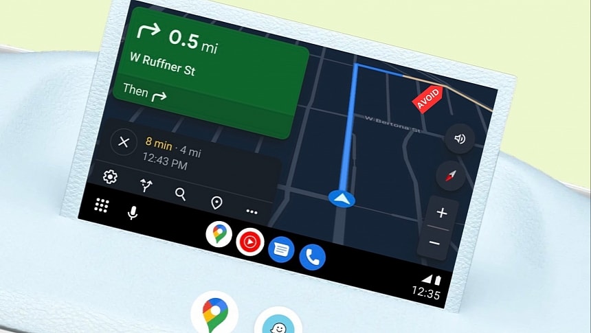
Meanwhile, Google is also working on several other improvements for Google Maps, as the search giant wants to upgrade the experience with the app on every platform. After the controversial interface update released last year, Google Maps will soon get support for saving the parking location on Android Auto, letting drivers know where the vehicle is located when the destination is in a different spot.
The purpose is simple: if the car isn't parked at the destination, drivers can use Google Maps for walking directions, so they continue to run the app even after exiting the vehicle.
Google Maps will also get Immersive View for routes. The feature is available in limited regions, but once it expands to more locations worldwide, it'll become a fantastic way to prepare for a journey to an unfamiliar destination. Immersive View for routes uses a multi-dimensional simulation comprising street-level imagery, satellite data, expected traffic conditions, and the weather forecast. Google's purpose is to allow drivers to explore a suggested route using more realistic details so users can get familiar with the trip before they start the engines.
Google Maps is also getting a visual update on mobile devices. Location information and the directions UI will no longer eat up the entire screen estate, using cards to let users access the map view anytime.
The facelift rolls out to users in stages, with Android to receive it in the coming weeks.


