Satellite connectivity is the next big thing in the mobile world, with Apple pioneering the introduction of such features on the iPhone.
Users can connect to emergency services using satellite integration, so they can share their coordinates and ask for help even in areas without a cellular signal.
We've known for a while that Google has been working around the clock on a similar strategy, planning not only to follow in Apple's footsteps but also to introduce more advanced capabilities that would somehow make its rival's offering obsolete.
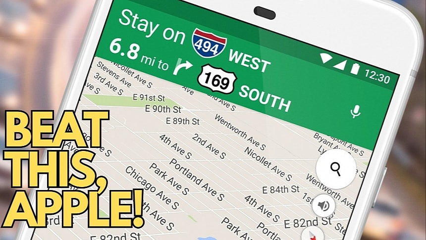
The latest discovery concerns Google Maps, as the search giant is reportedly working on adding satellite connectivity support in the navigation app.
Google Maps beta version 11.125 includes code strings for an option allowing the user to connect to a satellite. The feature will allow users to update their locations every 15 minutes, albeit it can be used only five times a day. The limitations aren't surprising, considering that satellite connectivity isn't very convenient, but the feature could still be useful in an emergency.
However, there are two things you must know about this planned satellite connectivity integration in Google Maps.
First, the feature might only be available on Android. Google is working on this ambitious tool as part of the Android 15 feature arsenal, which already includes bringing satellite integration into several other apps, including text messaging.
Second, the satellite connectivity support in Google Maps won't allow navigation. It will indeed be supposed to be used when you lose the Internet connection, but the existing strings suggest that Google Maps will only allow location sharing via satellite. If you want to navigate in an area without an Internet connection, you can use the good old offline maps, which you must download before you start driving and still have an Internet connection.
Google did not announce the new feature officially, but we should get more information at the company's I/O developer event later this spring. However, considering Android 15 is already on the horizon, its development should also progress in the coming weeks and months, so we'll probably see the satellite connectivity at work in a future preview build of the operating system.
Meanwhile, Apple is also working on new capabilities for Apple Maps, and I wouldn't be surprised to see satellite connectivity on its list of priorities. The demise of the Apple Car gives Apple few options for its automotive strategy, and focusing on CarPlay and Apple Maps has certainly become a priority in the long term. Sources with knowledge of the matter already revealed that Apple Maps is set to receive major updates this year, including support for custom routes that can be configured on a PC and submitted to the car via an Apple ID.


