If you still needed proof that trusting navigation apps blindly is a bad idea, here’s the story of two women who used Google Maps to find a route around a blocked highway, only to end up stranded in the middle of nowhere with no cellular signal.
It happened in British Columbia in Canada, where two women were driving to Alberta using Google Maps for navigation.
Because of an accident that blocked the highway, Google Maps suggested an alternate route that sent the women through the Holmes Forest Service Road. Trusting the navigation app blindly, the driver took the route, but eventually ended up stranded approximately 20 kilometers (12.4 miles) down the road with no cellular signal.
As it turns out, Google Maps didn’t know the road was covered in snow, so the vehicle eventually got stuck in an area without cell service.
After figuring out they couldn’t return to the highway and with no other vehicles around, one of the two women used her iPhone 14 to call emergency teams.
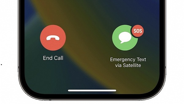
The latest iPhones are fitted with a new-generation emergency system called Emergency SOS via satellite. Launched in late 2022 in a handful of countries, including the United States, Canada, and the United Kingdom, the service connects iPhones to local emergency teams, letting users text critical information, including the medical condition, that would allow the first responders to locate them in an effective manner.
The first responders who rapidly managed to track down the two women say the rescue operations would have otherwise lasted for one week, especially because finding the location where the vehicle got stuck would have been challenging, to say the least. Thanks to the information provided by the iPhone through Emergency SOS via satellite, the rescuers could also determine the location of the car using the coordinates.
At the end of the day, this once again proves that one of the biggest challenges for navigation apps is to remain up-to-date with everything that happens on the road. The likes of Google Maps can’t tell the condition of a certain road, and sometimes, these applications end up sending drivers to routes that aren’t at all appropriate for their vehicles.
This is also the reason you should never take what they say for granted. While Google Maps, Waze, and Apple Maps come in handy when drivers need to find a destination faster and more conveniently, using the alternate routes they provide, especially in regions you don’t know, isn’t always a good idea if no other vehicles are on the road.
In some cases, taking these alternate routes could prove fatal. Back in 2020, two Russians who used Google Maps to find a faster route to a destination also got stuck in low temperatures, with the driver eventually freezing to death.


