Google Maps has evolved to become an all-in-one mapping service, providing users with everything from navigation instructions to very convenient ways of exploring a specific region anywhere on the planet.
Furthermore, Google Maps comes with all kinds of extras, including business information, store opening hours, reviews, and street-level imagery.
But despite all these improvements, Google Maps still doesn’t ignore the navigation component. After all, this is the feature that drivers use the most in their cars, and, given the high level of accuracy offered by Google Maps, it's also an important catalyst for growing the user base.
There's one thing that people seem to ignore way too often, though: Google Maps offers navigation only for certain vehicle categories. And here's precisely why this is a critical thing.
A truck navigation mode is not available, and this is precisely why Google Maps shouldn’t be used in larger vehicles.
The routing model bundled with Google Maps does not take into account the vehicle dimensions and the cargo size, so it sends you on any road allowing for a faster trip. In other words, Google Maps only wants to get you to the destination as fast as possible, all without taking into account critical details like the vehicle you drive.
Ignoring this simple thing can be horrible in the case of a lorry. Because Google Maps has no idea you're driving a truck, it might send you to narrow roads with sharp curves. This means your vehicle wouldn’t fit.
Unfortunately, way too many people figure this out the hard way, eventually being forced to call for help after getting stuck in the most awkward places. Needless to say, they also cause major disruption in these regions, as a truck getting stuck on a road typically produces heavy traffic jams.
What you need to know from the very beginning, however, is that these features are very limited compared to the standard navigation system aimed at cars. As such, you won't get the same advanced capabilities, such as eco-friendly routing, but on the other hand, Google Maps can still help you go from where you are to where you want to be faster.
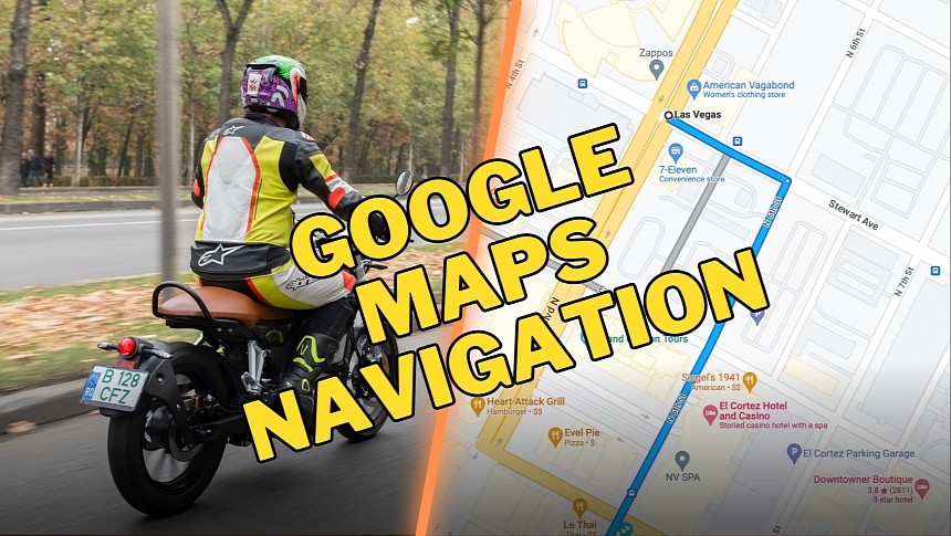
As an extra, Google Maps also knows precisely if a two-wheeler is not allowed on a specific road. As a result, the suggested routes shouldn’t include such roads, though you should still always pay attention to traffic signs. This advice makes sense no matter what Google Maps says, as following the instructions on the side of the road is mandatory for every driver.
Getting back to the motorcycle navigation features, they are only available in limited locations. Google focused mostly on car directions, so the motorcycle support feels half-baked. Most likely, the company will improve it in the long term, but for now, the availability is very limited precisely because it takes time to build an accurate database of roads and motorcycle restrictions.
Google explains that when you use this particular mode in Google Maps, the application might tell you to use shortcuts, including narrow side roads. This way, you can avoid roads with motorcycles restrictions in place but otherwise use streets where you're allowed to ride a bike, even if they are narrower.
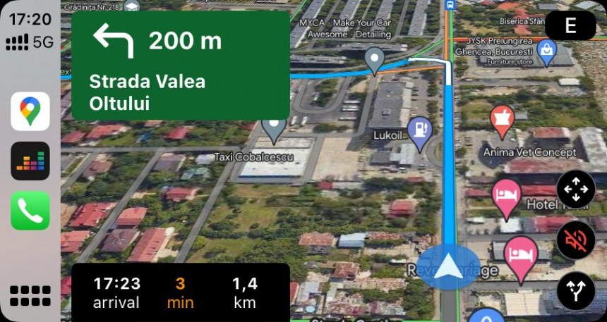
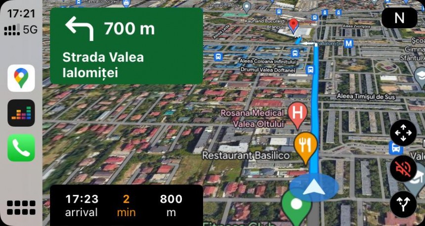
The company recommends motorcycle owners to inspect their turns before leaving on a trip. And it's not hard to figure out why, as looking at the mobile device while you ride a bike is a lot more difficult and pretty dangerous. Google Maps also comes with audio guidance, so if you use a Bluetooth headset, you can just listen to the instructions.
As I said earlier, the feature lineup in this mode is very limited, but Google Maps still comes with support for multiple stops. As such, if you plan a journey with more than one stop, Google Maps allows you to do this before leaving on a trip. Needless to say, you can also do the planning part on a computer and then send the entire route to the mobile device.
Other than that, Google Maps offers rather basic functionality for motorcycles, so this side of the app should be significantly improved in the long term. Unfortunately, Google rarely talks about its future plans for Google Maps, as the company's main focus right now is the immersive experience that's now expanding across the world.
As a closing piece of advice, remember that you must always use Google Maps for the appropriate vehicle category. Following its turn-by-turn navigation in a truck, for instance, can lead to massive blunders that would affect not only you but entire communities as well.
But despite all these improvements, Google Maps still doesn’t ignore the navigation component. After all, this is the feature that drivers use the most in their cars, and, given the high level of accuracy offered by Google Maps, it's also an important catalyst for growing the user base.
There's one thing that people seem to ignore way too often, though: Google Maps offers navigation only for certain vehicle categories. And here's precisely why this is a critical thing.
Google Maps in trucks
Google Maps currently supports several transportation modes, such as passenger cars, motorcycles, bicycles, and public transportation.A truck navigation mode is not available, and this is precisely why Google Maps shouldn’t be used in larger vehicles.
The routing model bundled with Google Maps does not take into account the vehicle dimensions and the cargo size, so it sends you on any road allowing for a faster trip. In other words, Google Maps only wants to get you to the destination as fast as possible, all without taking into account critical details like the vehicle you drive.
Ignoring this simple thing can be horrible in the case of a lorry. Because Google Maps has no idea you're driving a truck, it might send you to narrow roads with sharp curves. This means your vehicle wouldn’t fit.
Unfortunately, way too many people figure this out the hard way, eventually being forced to call for help after getting stuck in the most awkward places. Needless to say, they also cause major disruption in these regions, as a truck getting stuck on a road typically produces heavy traffic jams.
Motorcycle support in Google Maps
On the other hand, while Google Maps lacks a truck mode, it does come with support for scooters and motorcycles.What you need to know from the very beginning, however, is that these features are very limited compared to the standard navigation system aimed at cars. As such, you won't get the same advanced capabilities, such as eco-friendly routing, but on the other hand, Google Maps can still help you go from where you are to where you want to be faster.
As an extra, Google Maps also knows precisely if a two-wheeler is not allowed on a specific road. As a result, the suggested routes shouldn’t include such roads, though you should still always pay attention to traffic signs. This advice makes sense no matter what Google Maps says, as following the instructions on the side of the road is mandatory for every driver.
Getting back to the motorcycle navigation features, they are only available in limited locations. Google focused mostly on car directions, so the motorcycle support feels half-baked. Most likely, the company will improve it in the long term, but for now, the availability is very limited precisely because it takes time to build an accurate database of roads and motorcycle restrictions.
Google explains that when you use this particular mode in Google Maps, the application might tell you to use shortcuts, including narrow side roads. This way, you can avoid roads with motorcycles restrictions in place but otherwise use streets where you're allowed to ride a bike, even if they are narrower.
As I said earlier, the feature lineup in this mode is very limited, but Google Maps still comes with support for multiple stops. As such, if you plan a journey with more than one stop, Google Maps allows you to do this before leaving on a trip. Needless to say, you can also do the planning part on a computer and then send the entire route to the mobile device.
Other than that, Google Maps offers rather basic functionality for motorcycles, so this side of the app should be significantly improved in the long term. Unfortunately, Google rarely talks about its future plans for Google Maps, as the company's main focus right now is the immersive experience that's now expanding across the world.
As a closing piece of advice, remember that you must always use Google Maps for the appropriate vehicle category. Following its turn-by-turn navigation in a truck, for instance, can lead to massive blunders that would affect not only you but entire communities as well.


