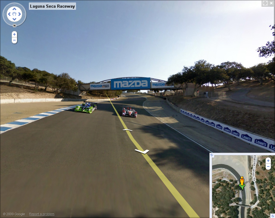
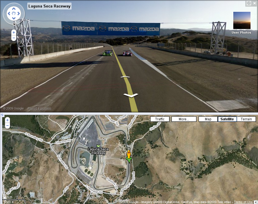
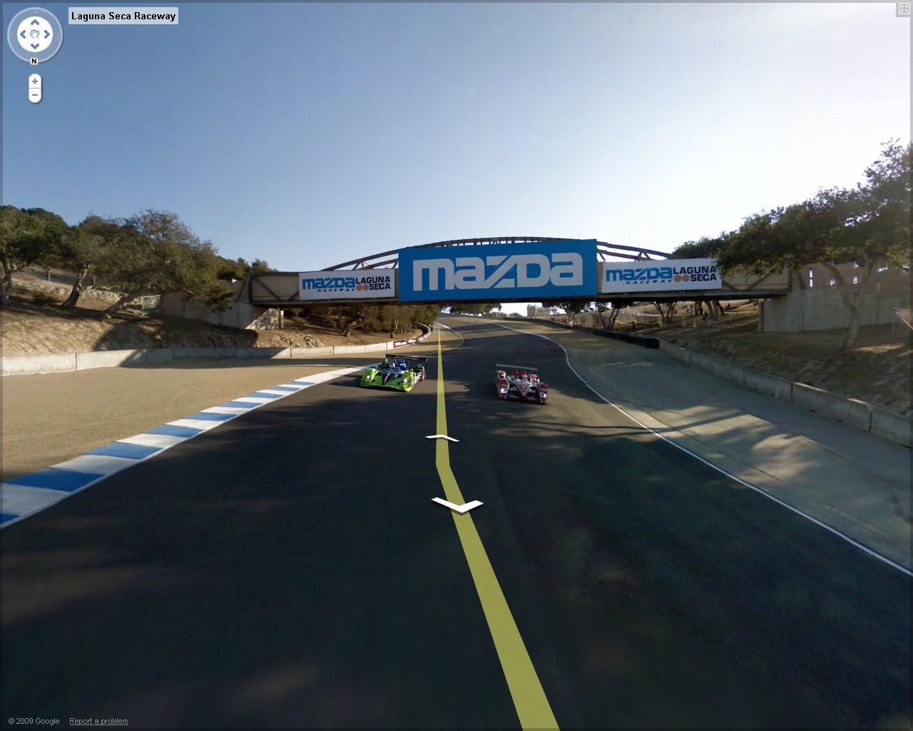
Racing fans from all over the world can use the application to travel the entire circuit, from the perspective of a race car participating in the final leg of the 2008 American Le Mans Series. That is somehow a bad news, as we were expecting a more recent view of the track.
According to a statement from Mazda, the tour was filmed using a spherical, multi-lens camera mounted to a vehicle, and combined with additional photographic imagery, GPS and other geo-spatial data to produce a true image of the race track at eye level.
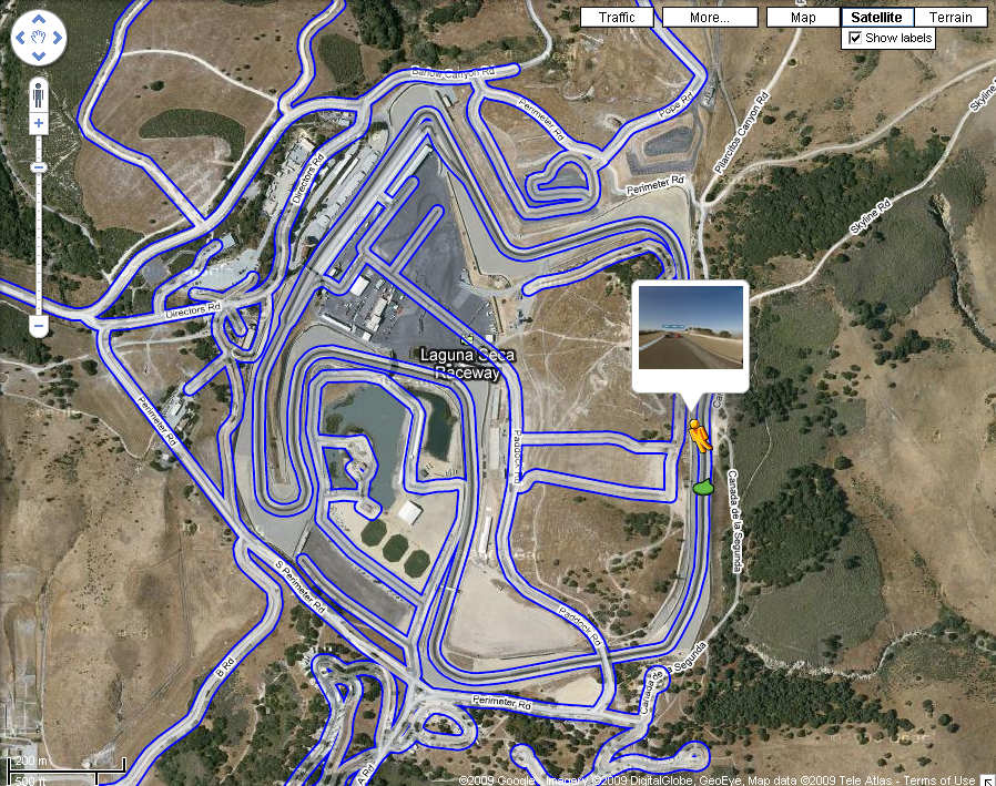
The circuit, with 11 curves, a length of 3.6 km and an elevation change of 91 meters, becomes the first racing circuit in the world to be available at Google Street View. Mazda Raceway Laguna Seca, previously known as Laguna Seca Raceway, hosts five world-class race weekends each season, with important faces in the road racing series from around the world visiting the Monterey Peninsula every year.
Major events include the Red Bull U.S. Grand Prix, Grand American Rolex Sports Car Series, A1 Grand Prix, Monterey Sports Car Championships and the Monterey Historics for classic racecars.
To take an interactive tour of Mazda Raceway Laguna Seca you can click here.