As trusting navigation apps blindly when driving wasn’t already a bad idea, someone in the United Kingdom decided to do this when going for a hike.
The outcome is easy to predict: the man got lost and triggered a major rescue operation that involved nine teams, two drones, and five search dogs.
The man used Google Maps for hiking directions despite the application being aimed at cars, walking, cycling, and public transportation. He attempted to use the walking directions provided by Google Maps in the Lake District, eventually getting lost after the application could no longer connect to GPS.
Like the other sat-nav solutions, Google Maps requires a GPS signal to determine users’ location. A permanent connection is then required for navigation, as the application must track them on the map for route guidance.
The hiker lost the GPS signal and tried to move around to restore the connection, eventually going off the recommended route. With Google Maps no longer providing guidance, the man got lost. It didn’t take long for his phone battery to die, so the hiker ended up all alone in the middle of nowhere.
Minutes before the phone shutdown, the man managed to reach out to emergency services, telling the first responders he was located somewhere close to Lake District. The rescue operation continued for 22 hours, and the hiker was eventually discovered close to Piers Gill.
He was already hypothermic after spending nearly one day under the clear sky and presented several injuries, including to the knee and leg. The man was eventually taken to hospital.
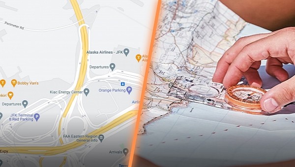
Rescue experts who took part in the operations emphasized the need for suitable maps, explaining that Google Maps isn’t by any means the right choice. A traditional map is the better solution for hikers, especially when paired with a compass.
A similar advice applies to drivers as well. Google Maps can make driving more convenient, but its routing model isn't flawless. Google Maps relies on data collected from user devices and historic traffic information, so the recommended routes don't always include up-to-date details.
As such, drivers occasionally end up on closed or unpaved roads, struggling to get back on the tarmac. In some cases, navigation mishaps could prove fatal. Back in 2020, two Russian youngsters were taken off the highway by Google Maps and sent on a road that was no longer used.
The vehicle eventually got stuck in the snow in an area with no cellular signal to alert the authorities or ask for help. Walking towards the closest town wasn’t an option either, so the driver froze to death due to the brutally cold temperatures, while the passenger was found with severe injuries that put his life at serious risk.
