The navigation experience behind the wheel has been the subject of a massive transformation in the last decade, evolving from traditional maps to software that can predict the ETA, look for faster routes, and provide warnings in advance to make the journey more predictable.
An essential feature in the navigation solutions available today is traffic information.
Google Maps, Waze, Apple Maps, and others can “guess” the traffic conditions, eventually being able to look for faster routes and determine more accurate ETAs.
Here’s a closer look at the magic that powers Google Maps’ traffic information.
Waze specifically tells users they can contribute with data even without navigation enabled on the screen, so it’s enough to keep the app running.
Google collects most of the information when turn-by-turn navigation is enabled. This is also the reason you can’t use route guidance if you don’t allow the collection of data.
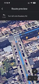
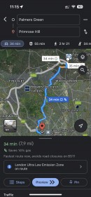
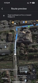
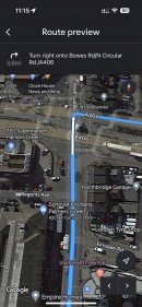
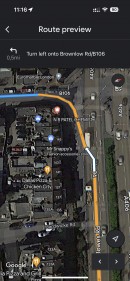
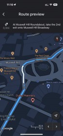
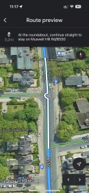
In other words, Google Maps users who want to use navigation capabilities must allow the collection of data. Otherwise, the application will only display the list of directions and a preview of the route.
As such, the search giant is only looking for details on how you use the app and the information is provided, with no personal data retrieved whatsoever. One such example is the GPS location, as Google wants to know where you are. The mode enabled in Google Maps is also saved.
Some navigation details are also retrieved, including the used route, as Google Maps needs to know precisely where you are slowing down and how long it takes before you start moving again.
Last but not least, Google Maps also collects data from some sensors installed in your mobile device, such as the barometer. A complex algorithm then determines if traffic conditions have anything in common with the weather, for instance.
Here's the good news for privacy-conscious users. The collected navigation data isn’t in any way associated with your Google account. After the data is processed to generate the information, and when the process is finished, it is automatically deleted.
In plain English, the application looks at past traffic conditions for the roads that you are supposed to use. Google is particularly interested in different days and specific times, trying to provide a more accurate estimate for your new route.
If you’re driving on a Wednesday at 3 PM, Google will look back at traffic conditions on the previous Wednesdays at 3 PM for the suggested routes. By combining this data with the information collected from the other vehicles on the road, Google Maps can then look for faster routes to the destination.
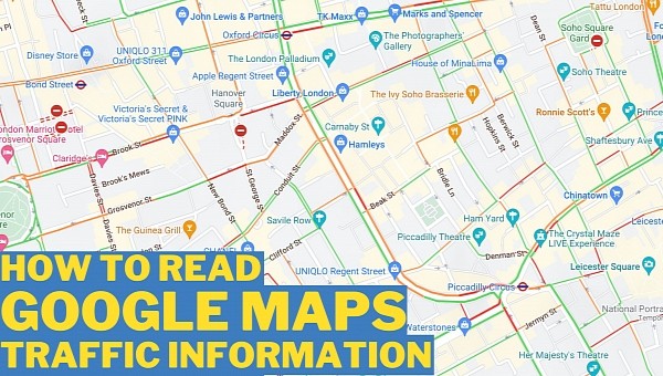
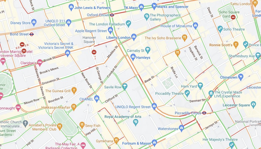
As such, when you fire up Google Maps and enable the traffic layer, you should pray to see green lights on nearby roads and the route you plan to use. On the other hand, if the roads are filled with orange, then Google Maps expects moderate traffic and some delays. The worst it can get is red all over the screen, which means that you’re very likely to hit massive traffic jams.
Google Maps will always try to avoid the red markings, as the alternative routes are supposed to help you get to the destination faster. This isn’t always possible, especially if you are located in a region where all nearby streets are experiencing bumper-to-bumper traffic, but even so, the route that Google Maps suggest should be the fastest, nonetheless.
At the end of the day, if you want to help Google Maps get better, the only thing you need to do is to use its turn-by-turn navigation while driving. This way, the application can collect the necessary data to improve its routing models and traffic estimates not only for you but also for the rest of the users.
The more people do this, the better Google Maps is eventually getting at these things, as crowdsourcing makes anticipating real traffic conditions as accurately as possible. This is the case with other navigation apps as well, as they use information collected from devices to be in the know about what’s happening on the road at any given time.
Google Maps, Waze, Apple Maps, and others can “guess” the traffic conditions, eventually being able to look for faster routes and determine more accurate ETAs.
Here’s a closer look at the magic that powers Google Maps’ traffic information.
How the data is collected
Just like Waze, Google Maps needs users. In fact, it needs the data generated by their devices, as this is the only way to be able to provide real-time information, such as traffic conditions, disruptions, and support for finding the fastest route to a destination.Waze specifically tells users they can contribute with data even without navigation enabled on the screen, so it’s enough to keep the app running.
Google collects most of the information when turn-by-turn navigation is enabled. This is also the reason you can’t use route guidance if you don’t allow the collection of data.
In other words, Google Maps users who want to use navigation capabilities must allow the collection of data. Otherwise, the application will only display the list of directions and a preview of the route.
What data is collected
Google says it needs information to improve navigation, look for faster alternate routes, and real-time updates, including for traffic conditions.As such, the search giant is only looking for details on how you use the app and the information is provided, with no personal data retrieved whatsoever. One such example is the GPS location, as Google wants to know where you are. The mode enabled in Google Maps is also saved.
Some navigation details are also retrieved, including the used route, as Google Maps needs to know precisely where you are slowing down and how long it takes before you start moving again.
Last but not least, Google Maps also collects data from some sensors installed in your mobile device, such as the barometer. A complex algorithm then determines if traffic conditions have anything in common with the weather, for instance.
Here's the good news for privacy-conscious users. The collected navigation data isn’t in any way associated with your Google account. After the data is processed to generate the information, and when the process is finished, it is automatically deleted.
The historical data
In addition to the data that it collects from your device, Google Maps also relies on historical data to determine traffic conditions.In plain English, the application looks at past traffic conditions for the roads that you are supposed to use. Google is particularly interested in different days and specific times, trying to provide a more accurate estimate for your new route.
If you’re driving on a Wednesday at 3 PM, Google will look back at traffic conditions on the previous Wednesdays at 3 PM for the suggested routes. By combining this data with the information collected from the other vehicles on the road, Google Maps can then look for faster routes to the destination.
Traffic information on the map
The traffic information that Google Maps determines is also available right on the map for everyone to see it. And again, just like Waze, Google Maps uses a color-based approach to indicate how worse traffic is when you are about to begin a new driving journey.As such, when you fire up Google Maps and enable the traffic layer, you should pray to see green lights on nearby roads and the route you plan to use. On the other hand, if the roads are filled with orange, then Google Maps expects moderate traffic and some delays. The worst it can get is red all over the screen, which means that you’re very likely to hit massive traffic jams.
At the end of the day, if you want to help Google Maps get better, the only thing you need to do is to use its turn-by-turn navigation while driving. This way, the application can collect the necessary data to improve its routing models and traffic estimates not only for you but also for the rest of the users.
The more people do this, the better Google Maps is eventually getting at these things, as crowdsourcing makes anticipating real traffic conditions as accurately as possible. This is the case with other navigation apps as well, as they use information collected from devices to be in the know about what’s happening on the road at any given time.
