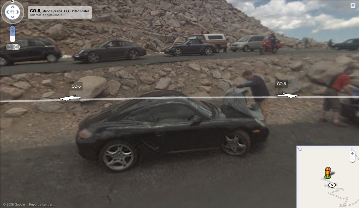
Porsche actually aimed to test its cars at high altitude without even thinking that someone may photograph them and publish pictures on the Internet. Unfortunately for the German carmaker, they “met” Google Maps StreetView's car which is often referred to as the vehicle that “sees everything, captures everything”.
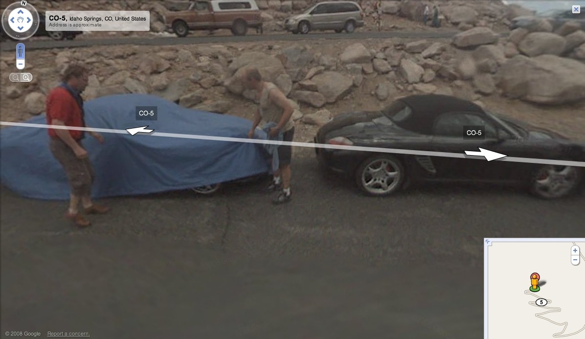
Google StreetView's car captured the whole convoy, showing that Porsche was testing several new models, including Cayman, Boxster, 911 Turbo and Targa, as the folks at garage419.com, who actually discovered the photos on Google Maps, wrote. Totally surprised by the StreetView photo-car, Porsche's engineers rushed to cover up the testing models, as you can see in the attached images.
The Google StreetView cars have been spotted all around the world, including American and non-American locations plus several European cities which reveal the Mountain View-based search company's plans to expand the service in Europe.
