Google Maps is mainly used for navigation, but for a driver in Martin County, Florida, the application ended up becoming a life-saving piece of technology.
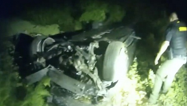
The man was driving his car on a road in Indiantown when a wild hog showed up in the light of his headlights out of nowhere. In an attempt to avoid hitting the animal, the driver lost control of the car. The vehicle crashed upside down in a nearby canal.
This is the moment when technology came to the rescue.
The man’s smartphone detected the crash and automatically called 911. The operators were provided by the mobile device with the coordinates where the incident occurred. Using Google Maps to determine the location based on the sent coordinates, the first responders managed to find the victim trapped in his submerged vehicle.
The car was stuck in waters known to be infested with alligators. The Martin County Sherriff’s Office says the units could even hear the man screaming from inside the vehicle.
Deputies jumped in the water and managed to pull the injured driver from the vehicle. He was transported to the hospital and is now expected to recover.
Technology had a major contribution not only to alerting the 911 dispatchers, but also to locating the victim in a timely manner.
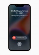
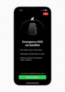
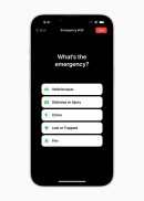
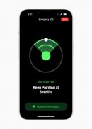
The smartphone brand hasn’t been disclosed, but iPhones have already become famous for detecting crashes using sensors embedded into the latest-generation model. iPhone 14 uses data collected from the accelerometer and the gyroscope to determine whether the driver has been involved in a crash. The smartphone asks for input from the owner, and if no response is offered, it automatically dials 911. A pre-recorded voice can provide the dispatchers with the coordinates of the vehicle’s location.
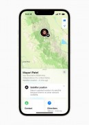
Google Maps helped first responders process the information shared by the mobile device. The application allows users to enter an address by providing the street name and the number, but it also supports coordinates. This way, Google Maps can accurately pinpoint a specific location on the map and then provide guidance to reach the address.
Other navigation solutions, including Apple Maps, support coordinates as well.
The Sherriff’s Office praised the “amazing technology” for the way it helped save the crash victim trapped in the submerged vehicle.
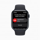
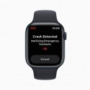
Crash Detection is enabled by default on iPhone 14 and iPhone 14 Pro models with the latest version of iOS. Additionally, Apple has also installed the same technology on its smartwatch. Apple Watch Series 8, the second-generation Apple Watch SE, and the Apple Watch Ultra can determine whether you’ve been involved in a crash. Worth knowing is that a cellular connection or Wi-Fi calling is required to start an emerged call when a crash is detected.
