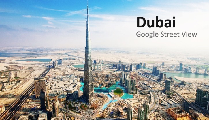
Based on air traffic, as of 2013, Dubai was the 7th most visited city of the world and the fastest growing, increasing by a 10.7% rate, so it was just a matter of time Google Street View would cover the arab city. The service is also covering the famous Sheikh Zayed Road, which is great news for avid drivers.
Google recently announced that the famous navigation system will be available in UAE’s most touristic city and the IT giant said it is the first time the app has been made available on a street-level in the Arab world.
Since 2007, when Google Street View started, the service reached more than 3,000 cities across 63 countries, and this is quite an important step for the company’s worldwide expansion.
Some of the main areas captured by Google in Dubai include Downtown Dubai, Al Sufouh, Dubai Marina, Business Bay, Bur Dubai, Deira and last but not least Sheikh Zayed Road. The last is part of UAE’s longest road, formally named E 11, which stretches from Al Silah in the Emirate of Abu Dhabi and ends in Ras Al Khaimah emirate at the Oman border.
The highway roughly runs parallel to UAE’s coastline along the arabic Gulf. In Dubai, this road forms the main artery and is part of the city’s solutions for a crowded traffic.
Drivers can go through the city in a fast pace. However, until know, missing the right exit would have caused for a big detour, as driving on this road is very strict. With the Google Street View now available, this shouldn’t be a problem anymore.
Google's move also comes with the obvious advantage of proper navigation and virtual sightseeing.
