While the main roads are maintained by the Department of Transportation, town roads and streets are in local authority municipality, and sometimes are having a hard time finding potholes.
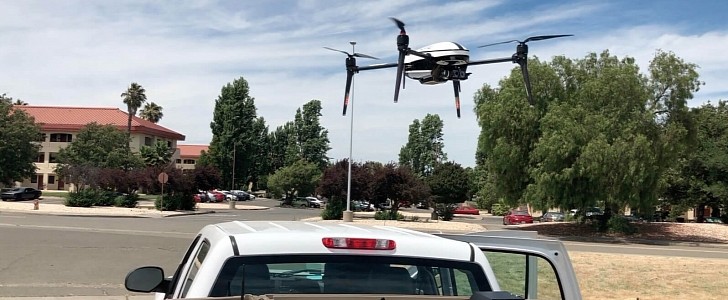
Following I-81 on the northern side of the Commonwealth of Virginia, you will find the small city of Winchester. With around 30,000 people, it relies on its local authorities to fix its potholes, but that sometimes is not done as quickly as drivers would like. Thus, DroneUp came with the idea of inspecting the roads from the air via drones.
The municipality has to inspect the 220 miles (354 km) of road network inside the city limits and inspect the pavement. To do that, it has to send a team, temporarily close the roads, and examine them by foot. As usual, that takes time and makes drivers angry, especially if they are late for work or dinner. But there is another way to do that.
A decade ago, the residents of Winchester considered road maintenance a top priority for the City Council. That didn't change too much since then, since the inspection procedure remained the same. However, DroneUp came with a test to see if they could ease that process. The test was to see if a drone could collect all the visual data required by city inspectors.
The test took place in a predetermined, 2 mile (3.2 km) area and marked it with eight DroneUp Propeller Aeropoints. These are Ground Control Points (GCP) specifically designed for drone mapping. They don't need GPS to accurately collect data. After placing the equipment, the pilot began flying with the camera pointing at the road. Just to be sure, he passed that drone 13 times over the designated area.
The DroneUp team concluded that the test was a success. After sharing the images with Atlas10 software used for pavement data analysis, the final report showed precisely where the work was needed.
Few of the main benefits of using this drone-aided inspection system are no road closures, speed, and accuracy. Thanks to its high-res camera, the drone recorded all the road's surface, not just specific areas. Thus it showed even areas where the pavement just started to deteriorate. That will lower the repairs budgets.
So, the next time when you'll have a City Council meeting, ask them to turn their pedestrian inspectors into drone pilots and finish the job faster so you won't have a flat tire before anyone can mark that pothole you hit every day.


